
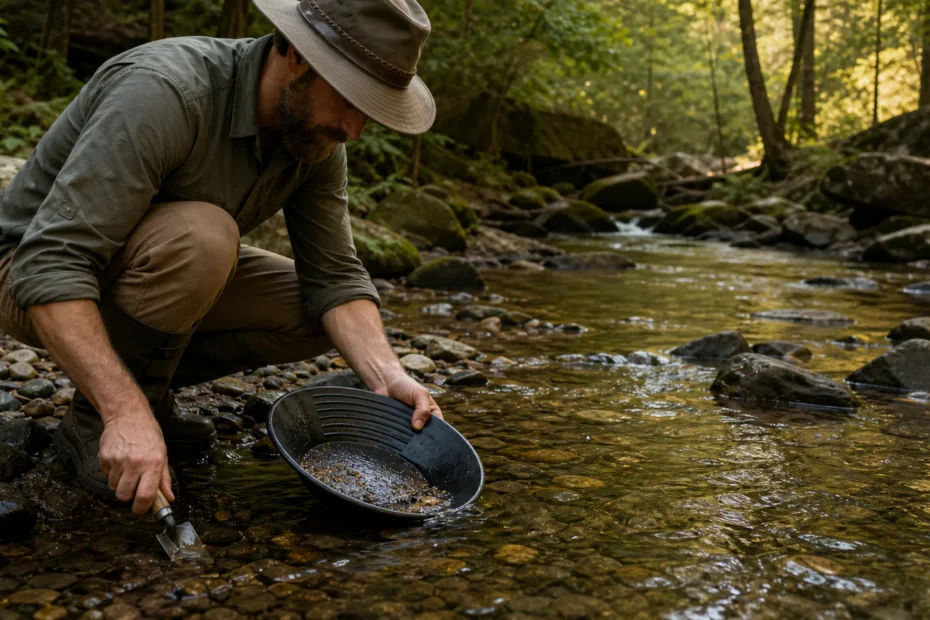
Check Arkansas gold geology, Ouachita panning rules, land and claim status, legal access, realistic finds, tools, and when a permit is required.
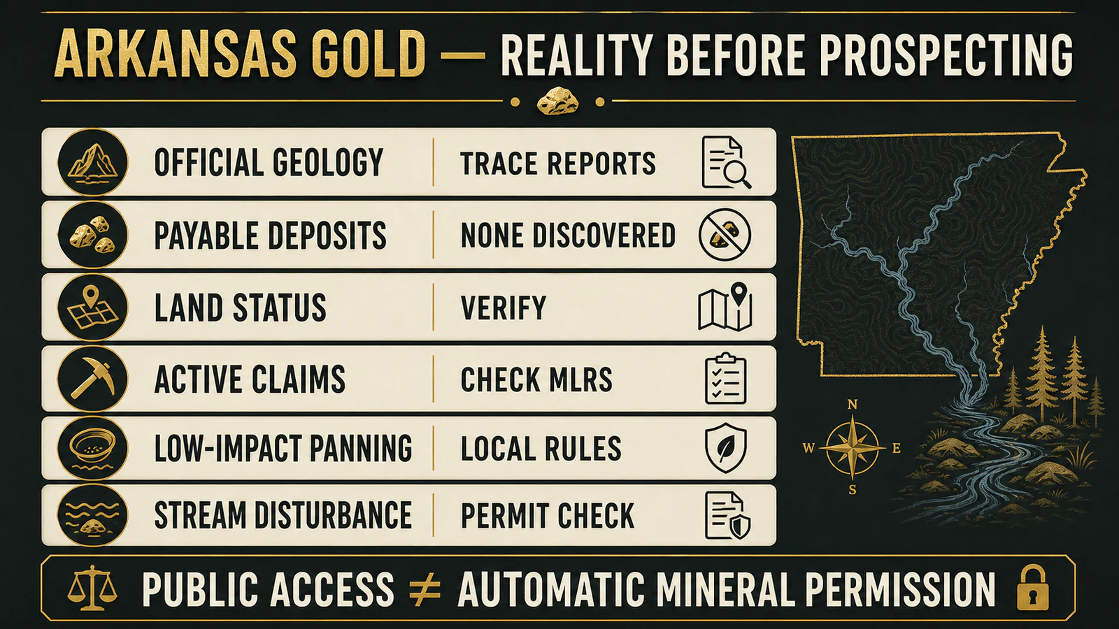
- Arkansas officials report trace occurrences but no discovered payable gold deposits.
- Ouachita National Forest panning is primarily skill practice: verify the district, stream, claim and mineral status before collecting.
- Hand panning can be casual use in some places; stream disturbance, mechanized work or commercial removal can require authorization.
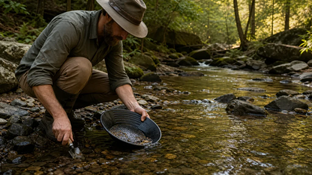
- Official Arkansas geology describes sparse trace reports—not an established commercial goldfield.
- The Ouachita National Forest presents panning mainly as recreation and skill practice.
- Confirm surface ownership, mineral estate, withdrawal status and active claims separately.
- Low-impact hand tools are not the same as mechanized excavation or commercial recovery.
- Quartz, pyrite and black sand are clues to inspect, not proof of gold.
A realistic field plan starts with records
Arkansas prospecting advice often jumps from an old trace report to a “secret location.” That skips the two hardest questions: is the geology capable of concentrating recoverable gold, and do you have the legal right to collect there? Solve both on paper before spending a day in the creek.
What official Arkansas geology actually says
The Arkansas Geological Survey summarizes historical investigations in the Ouachita Mountains. An 1888 report found no workable quantities, while a 1923 investigation near Hot Springs reported sparse traces of gold and silver. The agency’s bottom line is plain: no payable quantities of gold have been discovered in Arkansas.
“Trace” means an analytical or field observation detected some gold. “Payable” means grade, continuity, tonnage, recovery, access, environmental obligations and costs combine into an economic deposit. One does not imply the other.
| Claim | Evidence-based reading | Practical consequence |
|---|---|---|
| Gold has been reported in Arkansas | Yes, in sparse traces and historical reports. | A pan can be educational, but expectations should remain low. |
| Arkansas has commercial placer districts | Official sources do not identify payable deposits. | Do not model a trip on Western goldfield yields. |
| Quartz proves gold is present | Quartz is common and not diagnostic by itself. | Use identification and testing, not color alone. |
| Public forest means free collecting | Access, mineral rights, claims and local rules are separate. | Verify permission before collecting or disturbing material. |
Why the Ouachita Mountains are discussed
Historical reports and rugged streams make the Ouachitas the center of Arkansas gold folklore. Yet the Ouachita National Forest plan says no economic gold deposits are known and describes recreational panning primarily as a way to practice technique.
Where allowed, it restricts activity to the stream bed, not the banks, with a pan and small trowel, holes refilled and material taken only for personal use. Group activity requires district-ranger coordination.
Those statements are a general framework, not site-specific authorization. Closures, special areas, water conditions and district instructions can change. Contact the responsible ranger district with a map coordinate and intended method.
Read location names as research leads, not access instructions
Historic mentions of the Ouachitas and Hot Springs explain where investigations took place; they do not establish a productive or accessible panning site today. The Arkansas mineral commodity map brings together records from several agencies and publications, so check the commodity and underlying record before interpreting a mine symbol as a gold destination.
A recorded occurrence, a mineral-rights record and permission to enter are three different things. Use the map to frame a question for the land manager, then confirm the exact parcel and allowed activity.
The land-status check most prospectors skip
- Identify the exact parcel and surface manager—not merely the county or nearest town.
- Determine whether the mineral estate is federal, state, private or severed from the surface.
- Check withdrawals, wilderness, recreation sites, cultural resources and other collection restrictions.
- Search the BLM Mineral & Land Records System for mining claims and land records.
- Confirm claim status and location documents; a map pin alone is not a title opinion.
- Ask the surface manager what tools and material movement are allowed.
- Obtain written private-land permission when applicable.
BLM’s claim guidance explains that a valid claim involves federal land open to mineral entry and a valuable mineral discovery. Filing paperwork does not create gold, and recreational access does not authorize entry onto an active claim.
Leave archaeological material in place
A prospecting trip does not authorize collecting arrowheads, pottery or other archaeological material. The Arkansas Archeological Survey’s guide to applicable laws is a useful starting point for understanding protections; ask the responsible authority before disturbing a suspected site.
Keep mineral collecting separate from artifact hunting. If you encounter possible human remains, leave them undisturbed and contact local authorities.
When “casual use” can become regulated disturbance
A hand pan and small trowel can have negligible impact. A sluice, dredge, pump, highbanker, motorized equipment, bank excavation, road work or commercial operation changes the analysis. Federal surface-management rules, forest orders, water-quality requirements and Arkansas mining rules may apply.
Arkansas’s DEQ non-coal mining program and Rule 15 govern categories of surface mining and reclamation. Before moving more than trivial material, describe the method, location, water use and disturbance to the land manager and regulator. “Recreational” is not a blanket exemption.
A responsible one-day field plan
- Choose an authorized teaching location. Prioritize an area where the manager can confirm hand panning is allowed.
- Check weather and water. Flash floods, high flow, heat and slippery rock are greater risks than missing gold.
- Carry minimal tools. Pan, small plastic trowel, classifier, snuffer bottle, hand lens, gloves, water and a map.
- Sample systematically. Compare small samples from natural traps, inside bends and cracks without digging banks.
- Record negatives. A sample with no gold is still information about the location and method.
- Leave no trace. Refill holes, remove trash and avoid vegetation and cultural material.
How to read the pan without fooling yourself
Gold is dense, malleable and stays low in the pan. Mica flashes broadly and can appear to float; pyrite is brittle and angular.
Black sand may indicate dense-mineral concentration but is common without gold. Use a hand lens and move suspected flakes with a probe.
Do not call a result from sunlight sparkle alone.
For identification, see how to identify gold ore, gold ore basics and detecting gold without a metal detector. The broader gold panning sites guide explains how geology and permissions differ by region; gold mining in Nevada shows why Western district history should not be projected onto Arkansas.
Can you stake a gold claim in Arkansas?
Only federal land open to mineral entry can support a federal mining claim, and the statutory discovery standard is more demanding than finding a color in a pan. Much eastern land has complex acquisition, reservation or split-estate history. Use BLM Eastern States records, current land-status research and qualified advice rather than assuming a national-forest boundary is open.
If fuel, lodging, food and equipment total $350, recovering even one gram of gold would not automatically cover the trip after refining and selling costs. In Arkansas, plan the value as outdoor education and geology practice. Any verified flake is a field result, not a promised wage.
How to document a find responsibly
Record coordinates only when disclosure is lawful and will not encourage trespass. Photograph the sample in the pan and under magnification, label the stream and sampling method, and keep a chain of custody if laboratory analysis is planned. A geochemical result should state the laboratory method, detection limit and whether the material was selected, concentrated or representative.
Do not announce a “deposit” from one flake or a hand-picked rock. A mineral occurrence becomes an exploration target only after repeatable sampling, geological continuity and appropriate assays. Economic claims require far more: tonnage, grade, recovery, ownership, permitting, capital and operating cost.
Safety matters more than the sample
Never work alone in remote water, enter abandoned mines or climb unstable cuts. Arkansas heat, ticks, snakes, sudden storms, slippery bedrock and floodwater are immediate hazards.
Tell someone the route, carry offline navigation and leave when water rises or thunder approaches. Historical workings can contain bad air, collapses, explosives and contaminated water; observe them only from a safe, authorized distance.
Online Arkansas maps often mix historical anecdotes, mineral occurrences, public surface boundaries and modern claims into one layer. Those layers answer different questions. A credible location must pass geology, current land status, claim status and method-specific permission.
Arkansas can be a good place to learn careful panning precisely because the odds discourage production fantasies. The honest objective is to improve sampling and identification while leaving the stream better than you found it.
This guide is general education, not legal advice or permission for a specific parcel. Land status, claims, closures and environmental rules change. Confirm the exact location and method with the responsible owner, land manager and regulator.
Video context This prospecting video is useful for visual orientation. Verify every location against the official geology, land status, claims and permissions described above.
Bottom Line
Gold has been reported in Arkansas only in sparse traces, and official sources do not identify payable deposits. Treat prospecting as low-impact recreation: verify the parcel and mineral rights, check claims and local rules, use minimal tools and reject any location claim that cannot survive those checks.
FAQ: Gold Mining in Arkansas
Is there gold in Arkansas?
Official sources report sparse traces, especially in historical Ouachita investigations, but no payable quantities have been discovered.
Where can I pan for gold in Arkansas?
There is no blanket statewide permission. Ask the exact land manager about a mapped location, land status, active claims and allowed tools.
Can I pan in the Ouachita National Forest?
The forest describes limited low-impact panning in its plan, but site-specific restrictions and current instructions still apply. Contact the district ranger first.
Do I need a permit to pan for gold in Arkansas?
A pan and small trowel may be treated differently from mechanized or stream-disturbing work. The answer depends on parcel, manager, method and impact.
Can I file a mining claim after finding gold?
A federal claim requires land open to mineral entry and a qualifying valuable mineral discovery. A trace find or recreational color does not automatically meet that standard.
Sources and verification
Primary and specialist sources are linked below. Rules, market data and product specifications can change; verify the dated source before acting.
- Arkansas Geological Survey — Gold — Official conclusion that no payable quantities have been discovered.
- Ouachita National Forest — Revised Forest Plan — Specific panning limits and skill-practice context.
- USFS — Recreational Mineral Collecting — General personal-use collecting rules.
- USFS — Mineral, Rock Collecting, and Metal Detecting — Casual-use and local-authorization caveats.
- BLM — Locating a Mining Claim — Arkansas federal-mineral and withdrawal rules.
- BLM — Eastern States Minerals — Why much eastern federal land is not open to claim location.
- BLM — Mineral & Land Records System — Current claims and land-record lookup.
- BLM — Surface Management — Casual-use definition and disturbance boundary.
- Arkansas DEQ — Non-Coal Mining — State open-cut and in-stream mining program.
- Arkansas Rule 15, Part 231 — Permit requirements for open-cut and stream material removal.
 When you purchase a service or a product through our links, we sometimes earn a commission, at no extra cost to you.